Anyway, i thought i'd write out the route for you incase you fancy giving it a go.. The route described is only a small part of our bigger route so you can do it in several hours.. It makes for a cool afternoons training..
1) Park in the vicinity of Loggerheads Country Park somewhere on the Mold to Ruthin Road in the vicinity of the 'We Three Loggerheads' Pub..
2) Complete a gentle warm up by cycling up the main road in the Ruthin direction then after about 1 mile turn right at a T junction when you see the signs for Moel Famau.
3) Head onwards and upwards up a minor B-road towards the main lower car park next to the toilets (on the right).
4) About 200m before the toilets is a forest path that goes up to the right (there is an old sign for 'no biking' at the bottom but just ignore it.. the sign was in place before the bike routes were developed).
5) Follow the gravel fire road for about 0.7 miles uphill to a fork in the road then continue left and upwards (you may want to stop here and familiarise yourself with the surroundings, you'll return here later in the day). You now stay on the gravel road for about 3 miles until you arrive at a gate and the 'grassy knoll. Turn left through the gate (you'll see a signpost with a bike dedicated 'over the top' route marked on it) and dig deep for a few minutes and nail the uphill.

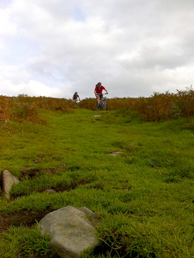
6) Continue straight along the path for about 2 miles and enjoy the mixed terrain of fantastic singletrack and undulating terrain before arriving at a gate on the ridgeline. You now get chance to take in the awesome view before nailing the grassy singletrack directly in fron of you which brings you out at a narrow country lane about 2 miles further on..

7) Turn right and head up the narrow road which soon goes from tarmac to gravel as it weaves itself up the valley. Its a bit of a slog and the gravel gets deep in places so dont be surprised if you have to push the bike for short distances once in a while..
8) After a 1 mile approx you reach a farm gate on the rigeline. Go through the gate and start heading down towards Cilcain on the old road. After a 100m you'll see a bridleway sign to the rign and a small reservoir below. You will also see a well defined grassy path which decends across the fields towards the reservoir. The choice of decent is up to you... The path takes you round the right of the reservoir and decends throuh some gorse before arriving at a small gate..

9) Turn right through the gate and head down the track for about 1 mile (you'll have a couple of farm gates to open). After about 0.7miles keep your eyes peeled for a track/gravel road that goes up to the right (if you reach tarmac and see a agricultural building in front of you then you've gone too far so reatrace your route about 200m).
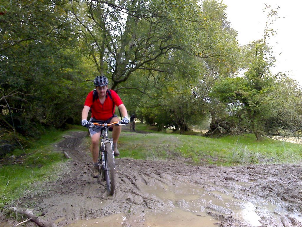
10) When you find the lane, head up it and continue onwards across planks and muddy areas. Its gnarly but quality. After about 1 mile you'll go through a farm gate and past a house before rejoining the path. Continue along for another mile (but keep you're eyes peeled for another bridleway that joins from the right... approx 300m past the house.. you'll decend this route later).
11) Eventually you'll reach a tarmac lane. From here follow the mountain bike route sign to the right and continue onwards for about 3 miles. The road ends quickly so most of the 3 miles is on forest, farm tracks with yet more sadistic but great plodding uphill sections.
12) All of a sudden you'll recognise where you are... You'll be back at the 'fork in the track' (see number 5 above) but you will have approached it from the opposite direction. Now all you need to do is turn right and do a second 3 mile circuit of the forest track back to the grassy knoll.
13) When you get to the 'grassy knoll' you turn right and have a quality little decent before rejoining a small section of the path you negotiated in number 10) above. Continue along the path until you reach the tarmac road as before.
14) Instead of turning right, go left and head down to a T junction.
15) Turn right and head down the road for about 0.5miles. Shortly after a small downhill you'll see a brick building which is close to the road, sort of sticks out a bit on the corner. Immediately after the building take the left turn (looks a bit like its going into a farm). Now decend the tarmac road, go across the ford and enjoy your final uphill of the day.. most find it a killer.. its short and sweet but gets the front wheel bobbing a bit.. i reckon its great, really gives you chance to dig deep..
16) Continue up to the T-junction then turn right and follow the straight narrow lane to Loggerheads Country Park.. Go through the gate and continue straight on through the park on the main path until you come out on the Ruthin-Mold Road..
17) Ride complete...
Now head back to the motor then.... PUB..... you deserve it... go on you know it makes sense.. Get changed and head to the 'We Three Loggerheads' for a swift cold one and a brunch..
Hope this helps.. I'll draw a map of the ride at some point and stick it on...
No comments:
Post a Comment